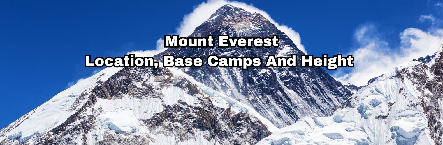
Everything You Need To Know About Mount Everest
More than 300 people have died on Mount Everest, and many of them are still there. In fact, above 8,000 meters, rescue is often impossible, no matter how much money or help is available.
Yet every year, thousands of people walk toward Everest without realizing where the real danger starts, and where it actually ends.
As a matter of fact, Everest is not one place. Honestly, it’s a long chain of altitude decisions, and each number matters.
This guide breaks Everest down the right way, not as a dream, but as reality.
Quick summary
- Mount Everest is 8,848.86 m, located on the Nepal–Tibet border in Asia.
- The distance from Kathmandu to Everest is 160 km, but access requires a flight and a trek.
- Everest Base Camp (South) sits at 5,364 m and is reachable by non-technical trekking.
- The Death Zone starts above 8,000 m, where the human body cannot acclimatize.
- A full Everest climb takes 60–90 days and costs $50,000–$150,000+.
Where is Mount Everest located (and which continent it is in)
Mount Everest sits directly on the border of Nepal and Tibet (China). In fact, the international boundary runs straight across the summit itself.
The southern face lies inside Nepal’s Sagarmatha National Park, while the northern face falls under China’s Tibet Autonomous Region
However, the mountain belongs to a much larger system than just two countries.
Everest is part of the Himalayas, more precisely the Mahalangur section. As a matter of fact, this same stretch holds Lhotse, Makalu, and Cho Oyu, all among the world’s tallest peaks.
If the question is about continents, there is no debate. Honestly, Mount Everest is in Asia.
Talking about how to reach Everest, you don’t arrive at Everest by road. Instead, the journey passes through mountain towns where the altitude slowly alters how your body works.
Places like Lukla, Namche Bazaar, Dingboche, Lobuche, and Gorakshep matter because sleep, appetite, and breathing shift there. And those changes decide how far someone can go.
How tall is Mount Everest
Mount Everest stands 8,848.86 meters (29,031.69 feet) above sea level. In fact, this height was officially agreed upon by both Nepal and China on December 8, 2020.
Previously, the known height was believed to be 8,848 meters, but during those times, tools were limited, and methods were inconsistent. However, the current figure uses modern GPS work at the summit and snow-depth checks.
This height isn’t important because it’s a record. Honestly, it matters because air pressure drops fast, and recovery becomes harder with every step.
How far is Mount Everest from Kathmandu
The straight-line distance from Kathmandu to Everest is about 160 kilometers (100 miles).
In fact, this number causes more confusion than clarity.
Most travelers first fly from Kathmandu to Lukla in 30–45 minutes. However, from Lukla onward, walking is the only option.
The walking distance from Lukla to Everest Base Camp is roughly 62–65 kilometers. As a matter of fact, it usually takes 8–12 days one way, not because it’s long, but because speed causes sickness.
Distance doesn’t control the pace here. Honestly, altitude does.
How tall is Everest Base Camp
Everest has two base camps, and mixing them creates confusion. In fact, separating them explains most Everest myths.
- South Everest Base Camp (Nepal): 5,364 m (17,598 ft)
- North Everest Base Camp (Tibet): 5,150–5,200 m (16,900–17,060 ft)
But the more famous Everest Base Camp that many of the trekkers reach is the Southern one.
Some climbers move beyond it as well, using higher camps placed on ice and steep slopes. In fact, they also hike up to Kala Patthar (5,545 m) for a higher viewpoint. As a matter of fact, this is often the highest point most people ever stand on.
Because after that point, oxygen is roughly half of sea-level levels. However, the body can still adapt if ascent is slow and rest days are respected.
Where is the Death Zone on Mount Everest
The Death Zone begins above 8,000 meters (26,247 ft). Honestly, this is where the mountain stops forgiving mistakes.
Below is the exact breakdown.
| Death zone location | Reason |
| South Col / Camp 4 to Summit | The body cannot adapt |
| North High Camps to Summit | Oxygen dangerously low |
In this zone, thinking slows and judgment weakens. As a matter of fact, time spent here matters more than strength.
How long does it take to climb Mount Everest
Climbing Everest is not one climb. In fact, it is weeks of controlled exposure before one final push.
A full expedition usually takes 60–90 days. However, most of that time is spent acclimatizing and waiting for safe weather.
The summit push itself often lasts 2–3 days.
Honestly, summit day alone can take 10–14 hours, followed by a dangerous descent.
The weather decides everything here. And missing a short window can end the entire season.
How much money does it cost to climb Everest
Climbing Everest usually costs $50,000 to $150,000+. In fact, the range depends on support level, oxygen use, and safety systems.
Permits, staff wages, logistics, food, ropes, and oxygen make up the core costs. However, extra expenses like gear, insurance, tips, and delays often surprise people.
Everest is expensive because nothing there is simple. Every added day increases both cost and risk.
Why do people want to climb Everest
Some want the highest point on Earth. In fact, that alone drives many attempts.
Others want a personal test that cannot be repeated anywhere else. However, guided climbing has changed access, making money a larger gate than skill.
Even with support, Everest stays dangerous. And that danger is part of the pull.
Experiencing Everest without climbing it
Not everyone needs the summit. Honestly, most people don’t.
Walking into the Everest region already means thin air, glaciers, and long, quiet days. However, trekking allows this experience without entering the Death Zone.
Different routes through the region feel very different. As a matter of fact, choosing the correct route matters more than chasing height.
Mount Everest key facts
| Core facts | Data |
| Continent | Asia |
| Location | Nepal–Tibet (China) border, Himalayas |
| Official height | 8,848.86 m |
| Straight-line distance from Kathmandu | 160 km |
| South Base Camp height | 5,364 m |
| Death Zone starts | Above 8,000 m |
Trekking To Everest Base Camp Vs Climbing Mount Everest
| Trek vs climb | Data |
| Typical trekking time | 12–14 days |
| Full expedition time | 60–90 days |
| Typical trekking cost | $1,500–$4,000 |
| Typical climbing cost | $50,000–$150,000+ |
| The highest trekking viewpoint | Kala Patthar (5,545 m) |
| Summit height | 8,848.86 m |