Short Everest Base Camp Trek Overview
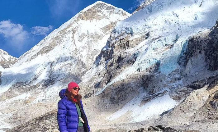
At its highest point, the Short Everest Base Camp trek reaches 5,545 meters above sea level. Over 9 walking days, you cover roughly 130 kilometers on foot, moving steadily through the Khumbu Valley to Everest Base Camp and back. These numbers matter because they explain what this trek really is. Not extreme, not casual, but demanding in a very specific, high altitude way.
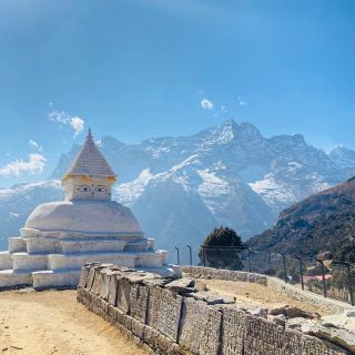
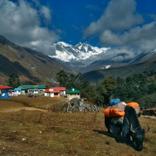
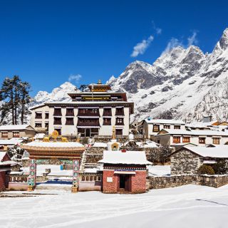
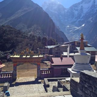
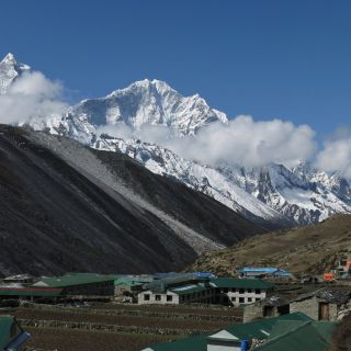
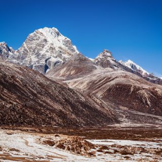
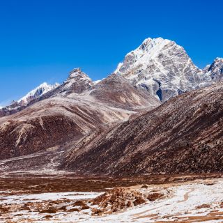
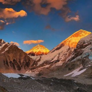
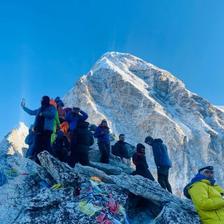
This Short Everest Base Camp Trek follows the standard EBC route via Namche Bazaar and Tengboche, without side trips or high trail deviations. In fact, the highest sleeping altitude is 5,164 meters at Gorakshep, and the highest point touched is Kala Patthar, reached early in the morning when conditions are most stable. Most days involve 5 to 7 hours of walking, with one longer day around Base Camp and Kala Patthar that can extend closer to 7 to 8 hours.
Furthermore, the itinerary includes one planned acclimatization day at Namche Bazaar, which is common for time-limited schedules but leaves little room for rushing or mistakes. Pacing, hydration, and rest become essential rather than optional. The route is out and back on the same trail, allowing the body to recover quickly during the descent as oxygen levels increase.
Talking about the accommodation, it is in standard local teahouses, with all meals included during the trek. And in Kathmandu, you can expect a stay at comfortable 3-star hotels.
Besides that, this journey is operated primarily in spring and autumn, when weather patterns, visibility, and flight reliability are most favourable. More than anything, this trek rewards consistency and preparation. It is designed for trekkers who understand that at altitude, steady progress matters far more than speed.
Who This Short Everest Base Camp Trek Is For and Who It Is Not
This Short Everest Base Camp Trek Package is designed for experienced or semi-experienced trekkers, not beginners. The main reason is simple. The itinerary includes only one planned acclimatization day at Namche, which leaves limited room for the body to adapt slowly to altitude.
This trek suits trekkers who already have experience with long hiking days and know how to manage fatigue.
| Requirement | What This Means |
|---|
| Trekking experience | Previous multi-day hikes or treks |
| Daily effort | Comfortable walking for 5 to 7 hours for many days |
| Fitness level | Regular physical activity before the trek |
| Mindset | Willing to walk slowly and follow altitude rules |
BMI and Fitness Guidance for the Short Everest Base Camp Trek
BMI is not a guarantee of success, but it helps explain physical stress at altitude.
| BMI Range | What to Expect |
|---|
| 18.5 to 25 | Generally well-suited if active |
| 25 to 30 | Possible with good fitness and experience |
| Above 30 | Higher strain and slower recovery at altitude |
However, you need to remember that a fit person with a higher BMI often performs better than an inactive person with a lower BMI. Conditioning matters more than weight alone.
Who Shouldn’t Choose the Short Everest Base Camp Trek?
This trek is not suitable for beginners, especially those without long-distance hiking experience. It is also not recommended for people with a history of severe altitude sickness, uncontrolled asthma, heart conditions, high blood pressure, or poorly managed diabetes. For them, we would like to recommend a classic Everest Base Camp trek as it includes more room for acclimatization.
This itinerary works best for trekkers who prepare well and understand that altitude rewards patience, not speed.
Is the Short Everest Camp Trek Safe?
This trek takes you from 1,400 m in Kathmandu to 5,545 m at Kala Patthar in less than two weeks. That rate of ascent is the single most important safety factor on this itinerary. Above 3,000 m, the body cannot fully adapt overnight, and above 4,000 m, small mistakes compound quickly. Which is why, if you aren’t careful, altitude sickness can spoil your entire journey.
Route-specific altitude profile and risk points
| Location on the route | Altitude (m) | Safety relevance |
|---|
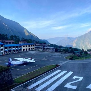
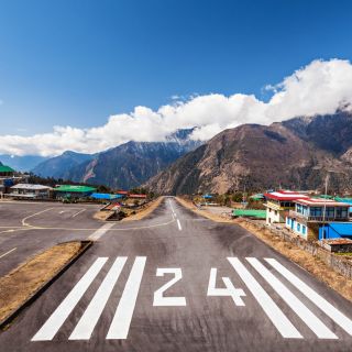
| Lukla | 2,860 | Rapid altitude jump from Kathmandu |
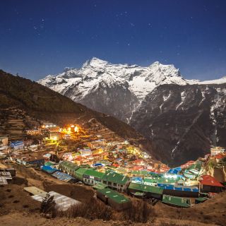
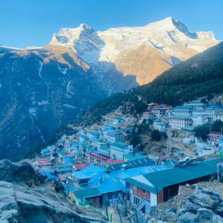
| Namche Bazaar | 3,440 | First and only planned acclimatization day |
| Tengboche | 3,860 | Sleep disruption begins for many |
| Dingboche | 4,410 | Common onset zone for altitude symptoms |
| Lobuche | 4,910 | Recovery slows, and appetite often drops |
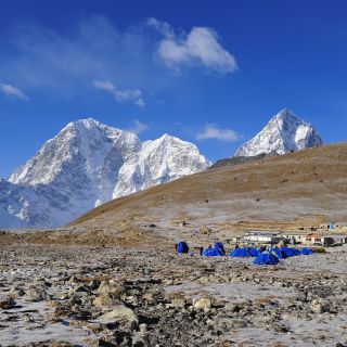
| Gorakshep | 5,164 | Highest sleeping altitude |
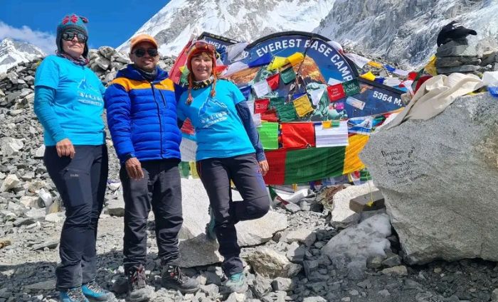
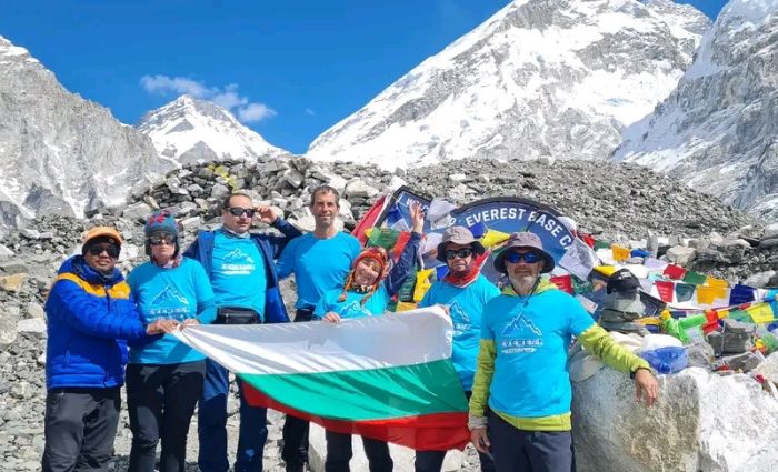
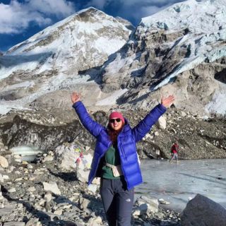
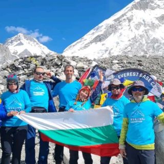
| Everest Base Camp | 5,364 | Visited and returned the same day |
| Kala Patthar | 5,545 | Maximum exertion at the lowest oxygen level |
This is a classic out-and-back route, with no high trail deviations and no alternative exits at higher elevations. That predictability helps logistics, but it also means decisions must be made early when symptoms appear.
Why safety depends on discipline, not toughness ?
With only one acclimatization day, this trek leaves little margin for ignoring warning signs. Headache that does not improve, persistent nausea, unusual fatigue, disturbed sleep, or breathlessness at rest are not things to push through. On this route, continuing upward with worsening symptoms is one of the main reasons trekkers fail to reach Base Camp or require evacuation.
Terrain adds another layer of risk. Long stone staircases strain knees, narrow trails demand attention, and cold, windy mornings at altitude increase fatigue-related errors. These are manageable risks, but only when the pace remains slow and decisions stay conservative.
This trek is safest for those who understand that turning back early is not failure. It is often the decision that prevents serious outcomes in the Everest region.
Physical and Mental Preparation for the Short Everest Base Camp Trek
On a short Everest Base Camp schedule, preparation is not optional. With nine walking days, long ascents, and sleeping as high as 5,164 meters, this trek assumes your body is already conditioned before you arrive.
Physical preparation that matters on this route
You do not need extreme fitness, but you do need functional endurance.
| Area | What to be ready for |
|---|
| Daily effort | Walking 5 to 7 hours for several days in a row |
| Terrain | Stone steps, uneven trails, long descents |
| Breathing | Slow uphill movement in thin air |
| Recovery | Limited rest days, especially at higher altitudes |
Long hikes, stair climbing, steady cardio, and walking with a light pack are far more useful than short, high-intensity workouts. The goal is not speed, but the ability to keep moving comfortably day after day.
Body weight plays a role, but fitness matters more. At altitude, heavier bodies work harder for the same oxygen. Trekkers with higher body weight who train consistently often cope better than lighter but unprepared trekkers.
Mental preparation is where many struggle
Above 4,000 meters, sleep becomes lighter, appetite drops, and progress feels slow. This is normal. What causes problems is frustration, rushing, or ignoring early discomfort. Trekkers who do well are those who understand what preparation really involves, pace themselves honestly, and communicate issues early.
This trek favours people who arrive already prepared, both physically and mentally, rather than those hoping to adapt along the way.
Cost for the Short Everest Base Camp Trek
The total cost of the trek depends mainly on group size, as logistics, guide ratios, porter support, accommodation, and transport are shared more efficiently in larger groups. To keep pricing transparent and flexible, costs are calculated per person based on the number of trekkers in your group. For example, for solo travellers, the total cost for the Short Everest Base Camp trek is $1700.
Per Person Cost by Group Size For Short Everest Base Camp Trek
| Group Size | Cost per Person |
|---|
| 1 trekker | $1700 |
| 2 trekkers | $1400 |
| 3 to 5 trekkers | $1350 |
| 5 to 10 trekkers | $1300 |
| 10+ trekkers | $1250 |
Smaller groups generally cost more per person due to fixed expenses such as licensed guides, porter support, permits, flights, and logistics being shared by fewer people. As group size increases, these costs are distributed more evenly, reducing the per-person price while maintaining the same safety standards and inclusions.
Furthermore, these costs won’t cover your personal expenses, such as Internet and hot showers. Minimizing these expenses can keep your Everest Base Camp trek cost within budget.
Ready to Start Your Trekking Journey in Nepal?
Talk to our local experts and plan a safe, unforgettable adventure.